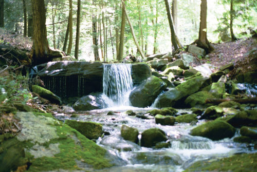
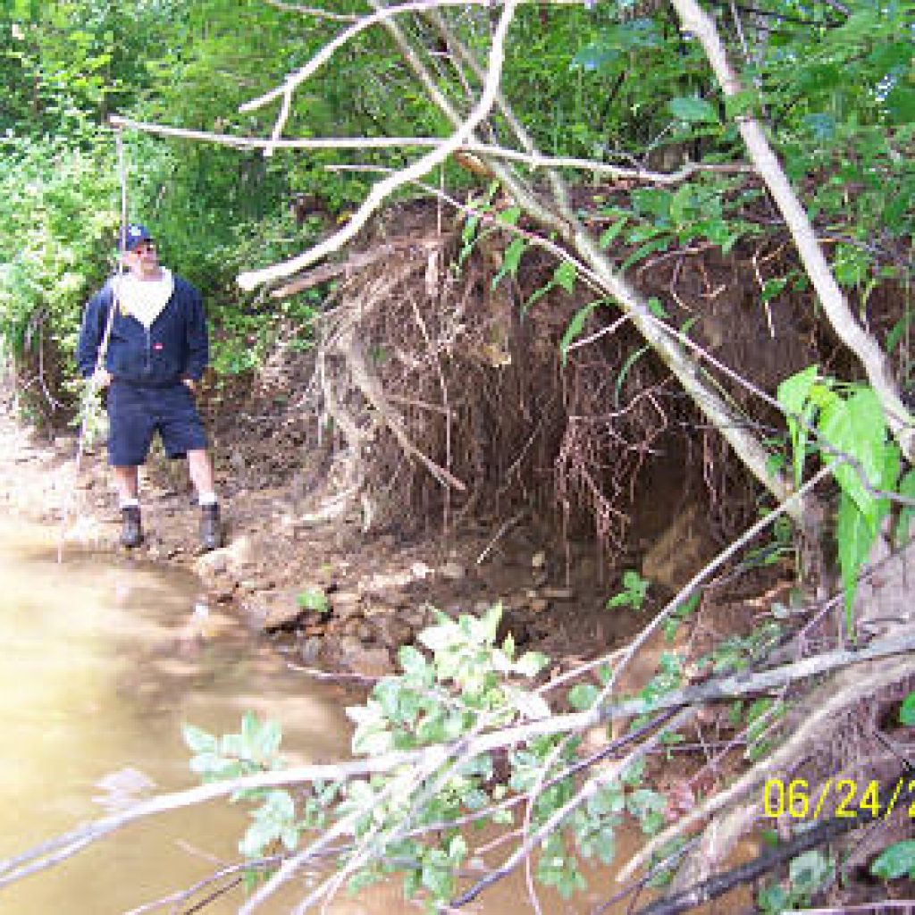
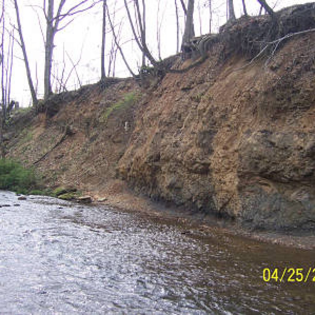
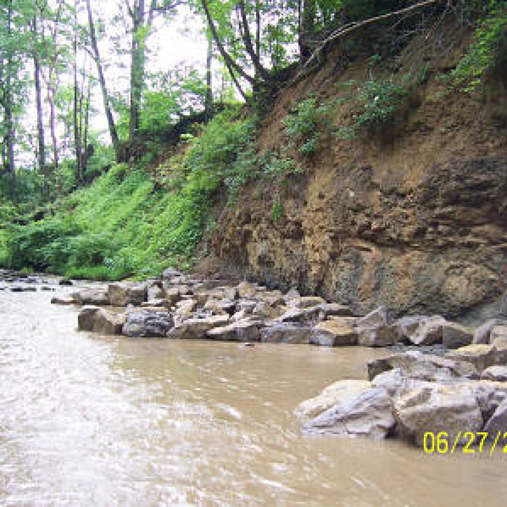
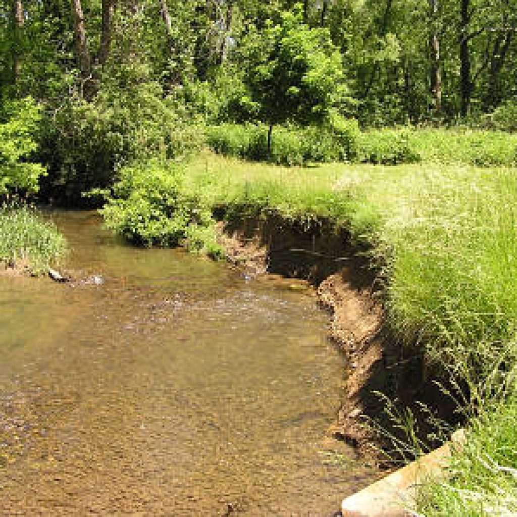
FTTU believes that Mill Creek has the potential to be an excellent trout stream. In 2004, we received a Coldwater Heritage Partnership grant to do a visual assessment of the Mill Creek Watershed. After a day of training by the Western Pennsylvania Conservancy Watershed Assistance Center, volunteers walked the streams of the watershed scoring them in several catagories including riparian zone (tree and vegetation cover), stream bed (degree of siltation), and channel condition (erosion). They also noted any evidence of sewage, mine drainage or agricultural impacts.
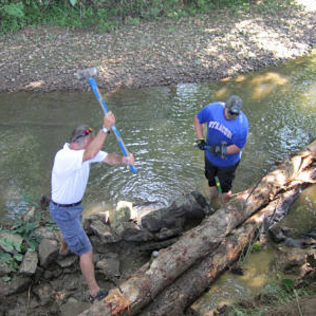
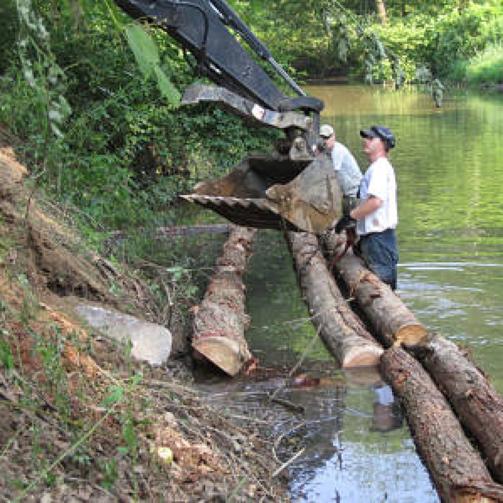
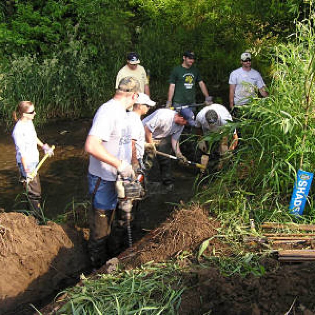
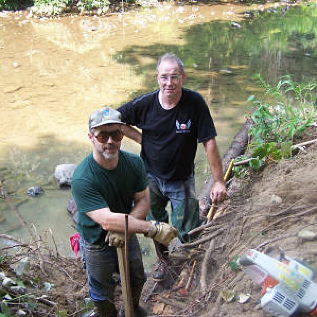
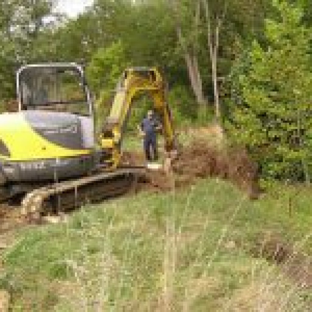
With the study complete, the chapter began work on the problem areas outlined in the plan. In the following years, ten projects were completed within the watershed. Partners with FTTU included The Loyalhanna Watershed Association, Western Pennsylvania Conservancy, Westmoreland County Conservation District and the Pennsylvania Fish and Boat Commission.
These projects were made possible with financial support from Growing Greener, and the Dominion Foundation which is dedicated to the economic, physical and social health of the communities served by Dominion companies. The grant was administered by the Western Pennsylvania Conservancy in commitment to its core mission of conserving Pennsylvania’s diverse ecosystems through science based strategy, leadership and collaboration.
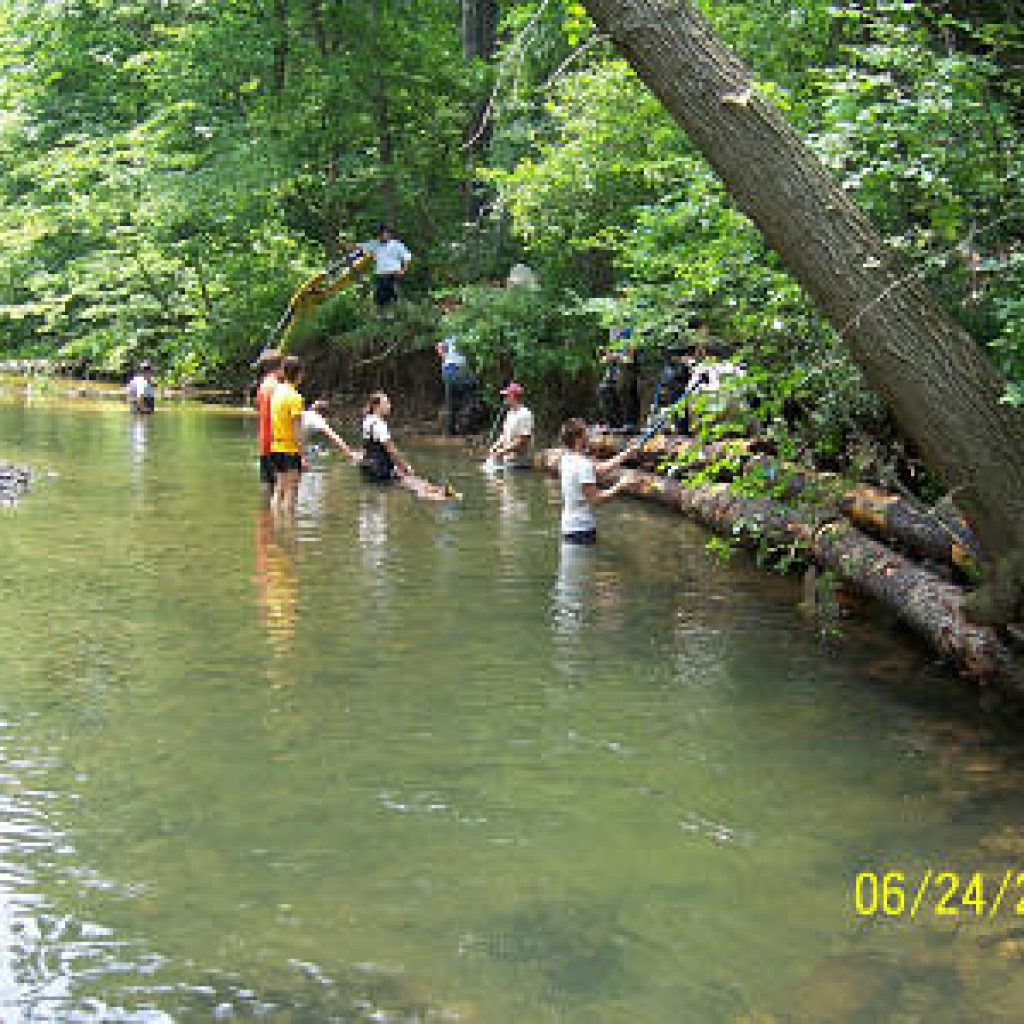
We also received financial support from the NiSource Environmental Challenge Fund and a work crews from Outside In, Americorps and the Youth Conservation Corps teamed up with chapter volunteers to do the manual labor.

![]() OUTREACH THROUGH FISHING – The Laurel Highlands Trout Trail
OUTREACH THROUGH FISHING – The Laurel Highlands Trout Trail
The Laurel Highlands Trout Trail is our organizational promotion and outreach project. Its goal is to introduce visitors and local residents to the beauties of the Laurel Highlands by guiding them along our “Top Ten” trout streams; ten of the Laurel Highlands’ best trout streams along a beautiful 70-mile drive from Ligonier to Ohiopyle. Check out the Trout Trail website lhtrouttrail.com
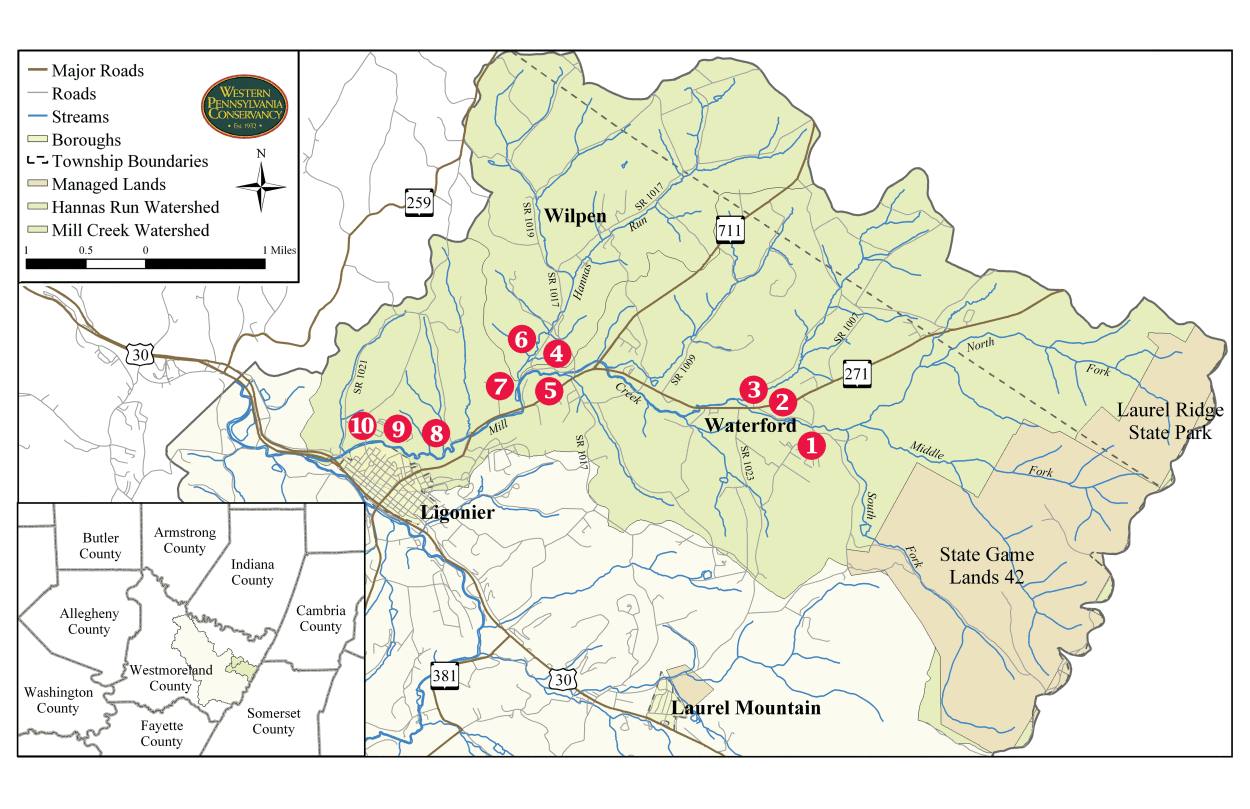
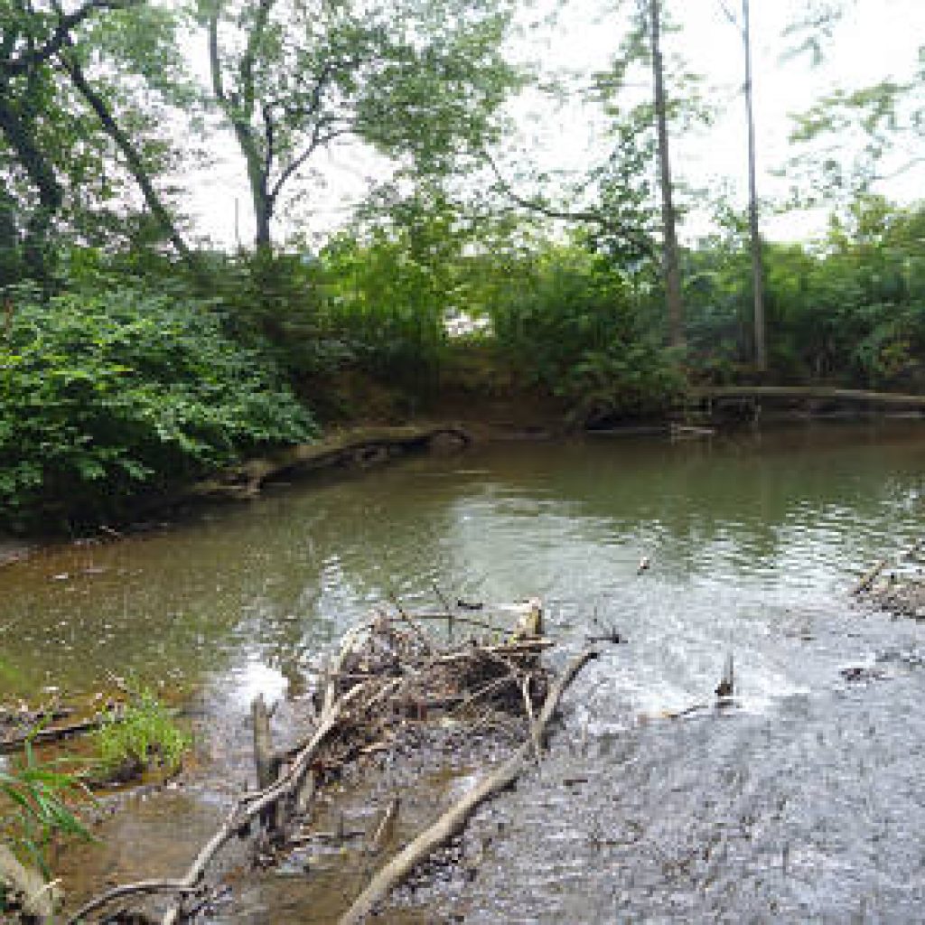
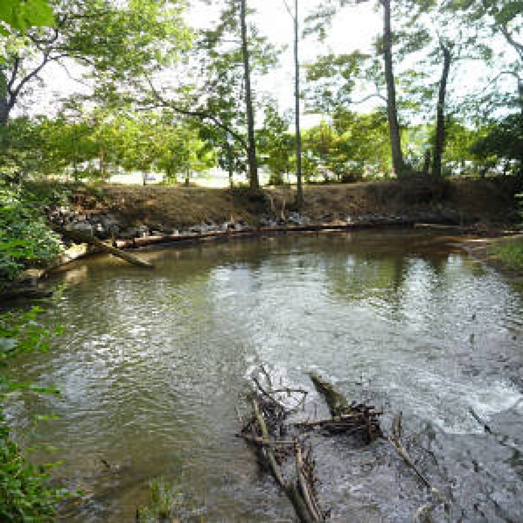
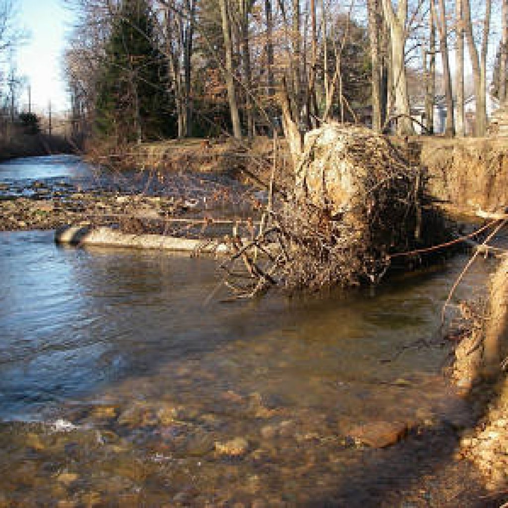
Descriptions of Mill Creek Projects Done to Date
1-Ann Roberts Road – Eslary Property – 2006
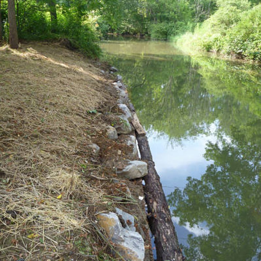
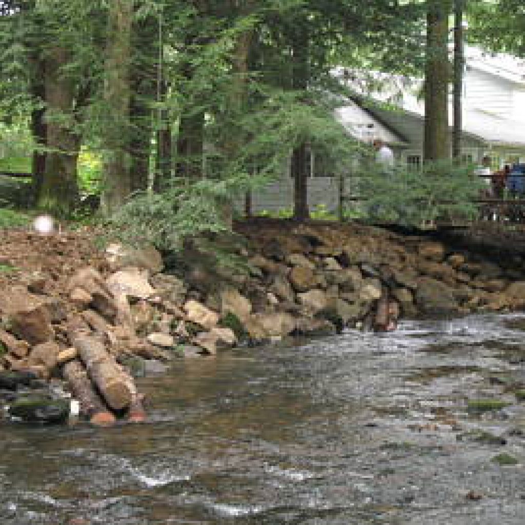
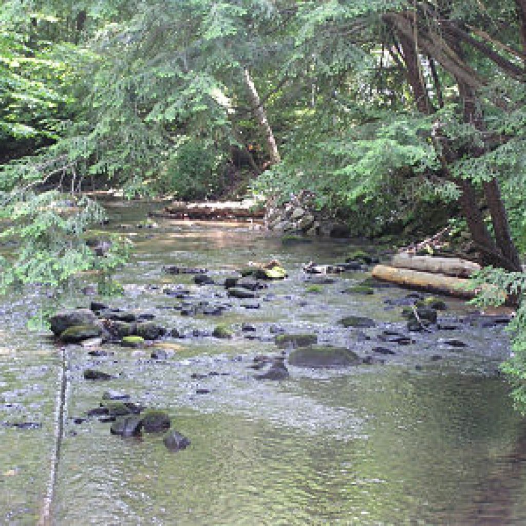
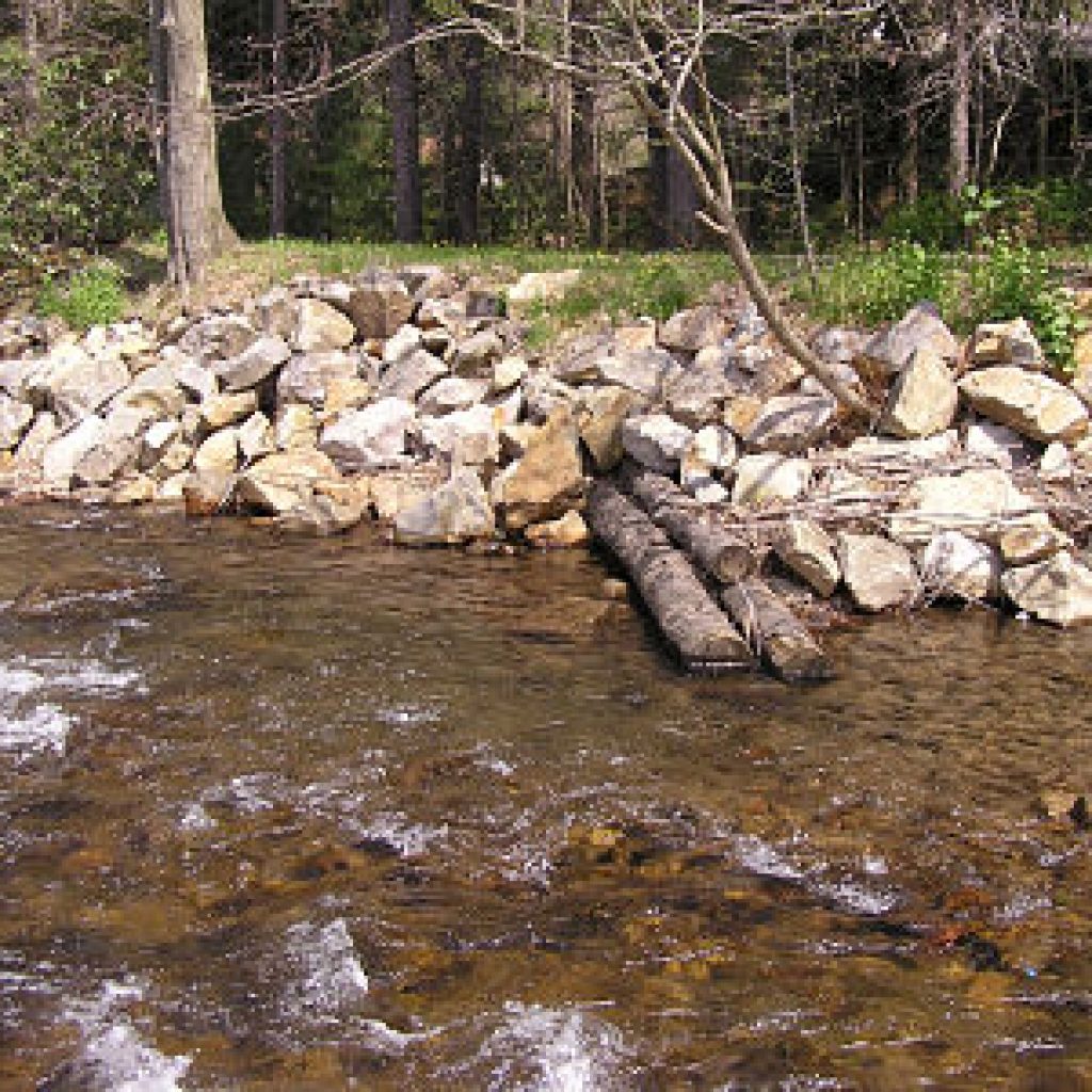
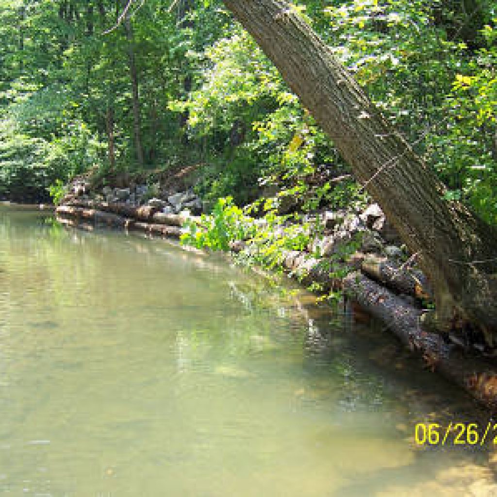
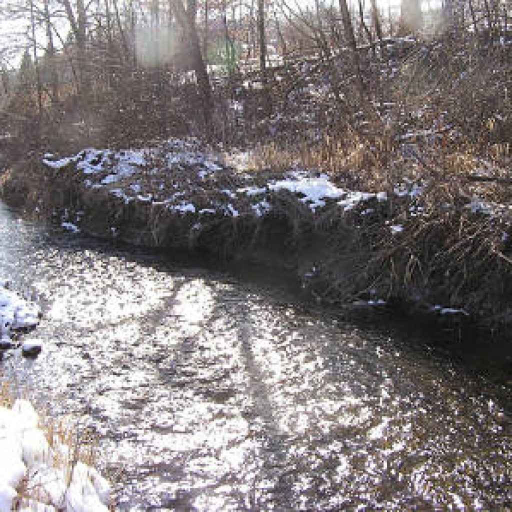
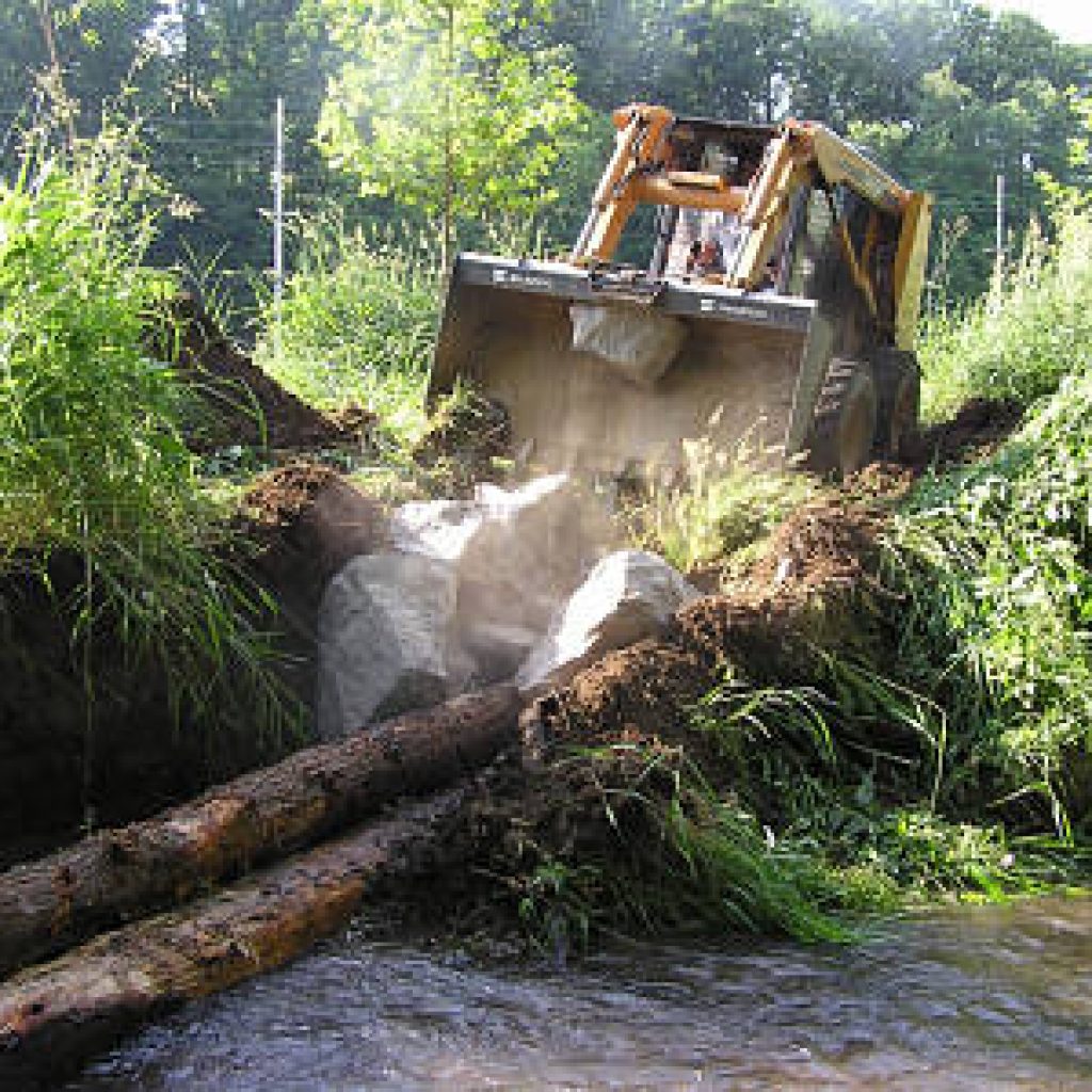
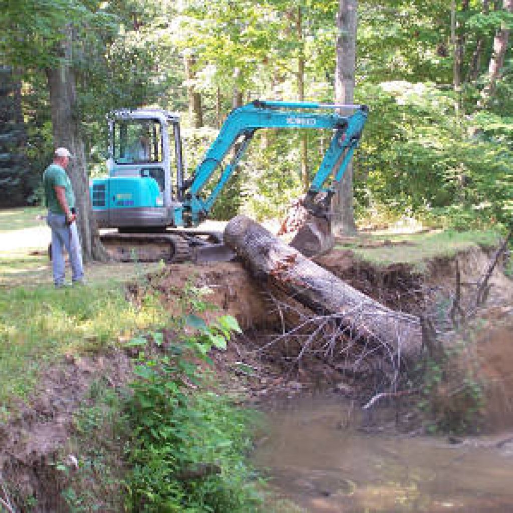
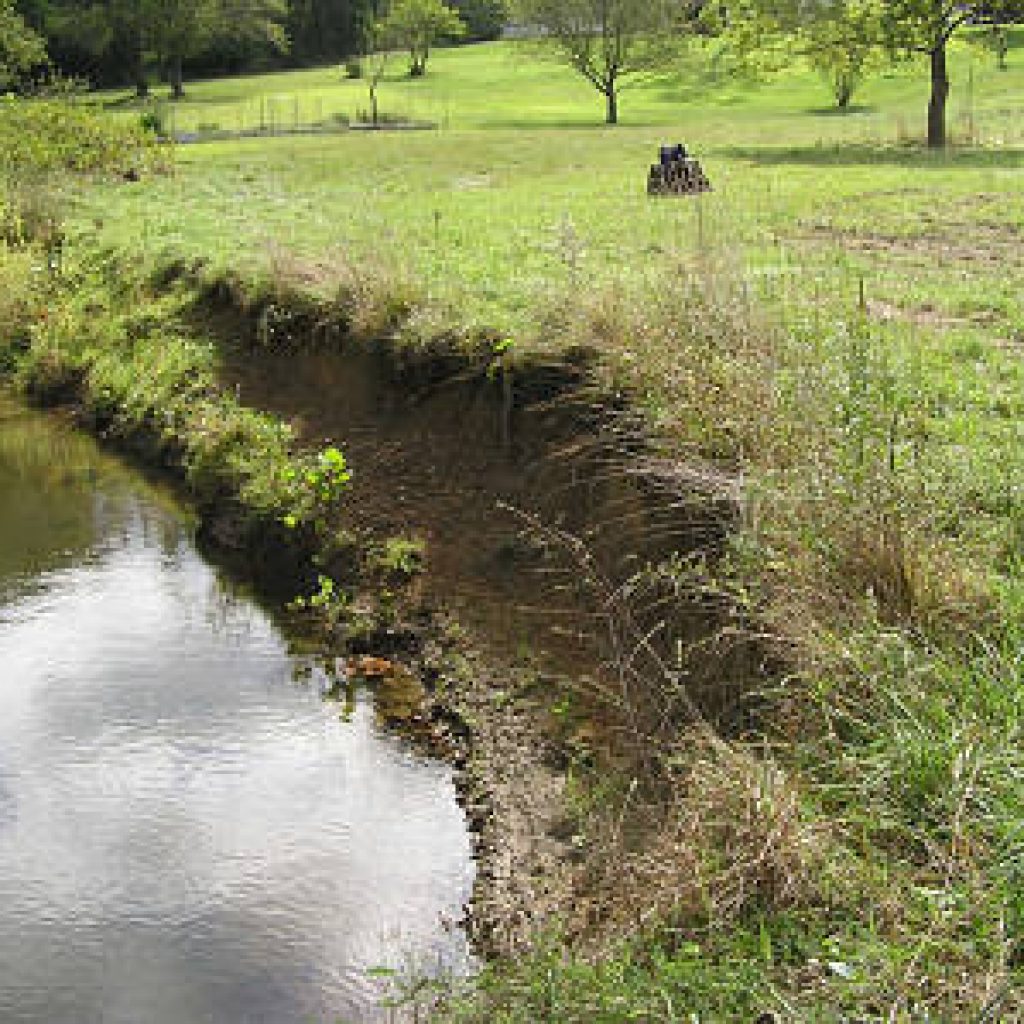
Bank erosion and sedimentation control with large stone and log vanes.
2-Ann Roberts Road – Pole Bridge – 2006
Bank erosion and sedimentation control with log vanes.
3-Laposki & Stauffer Properties – 2007
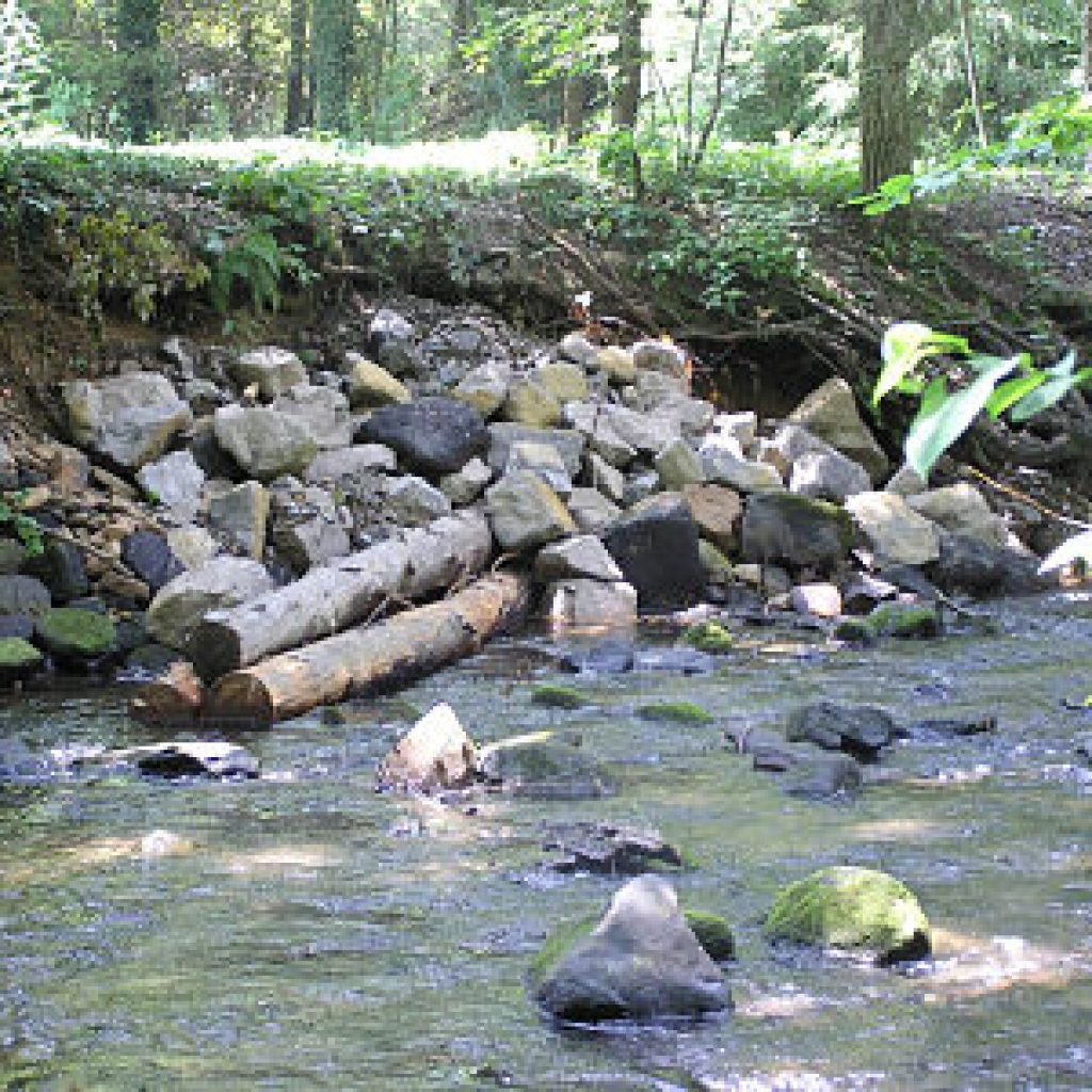
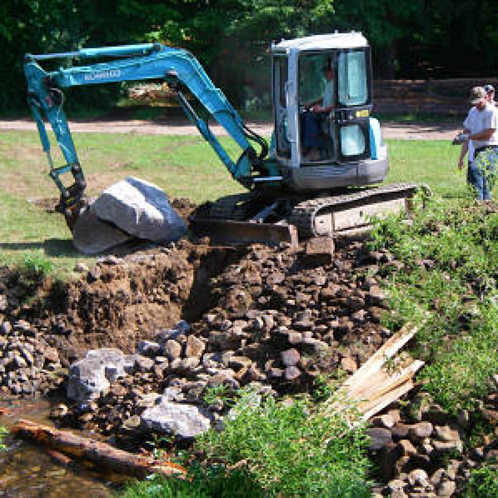
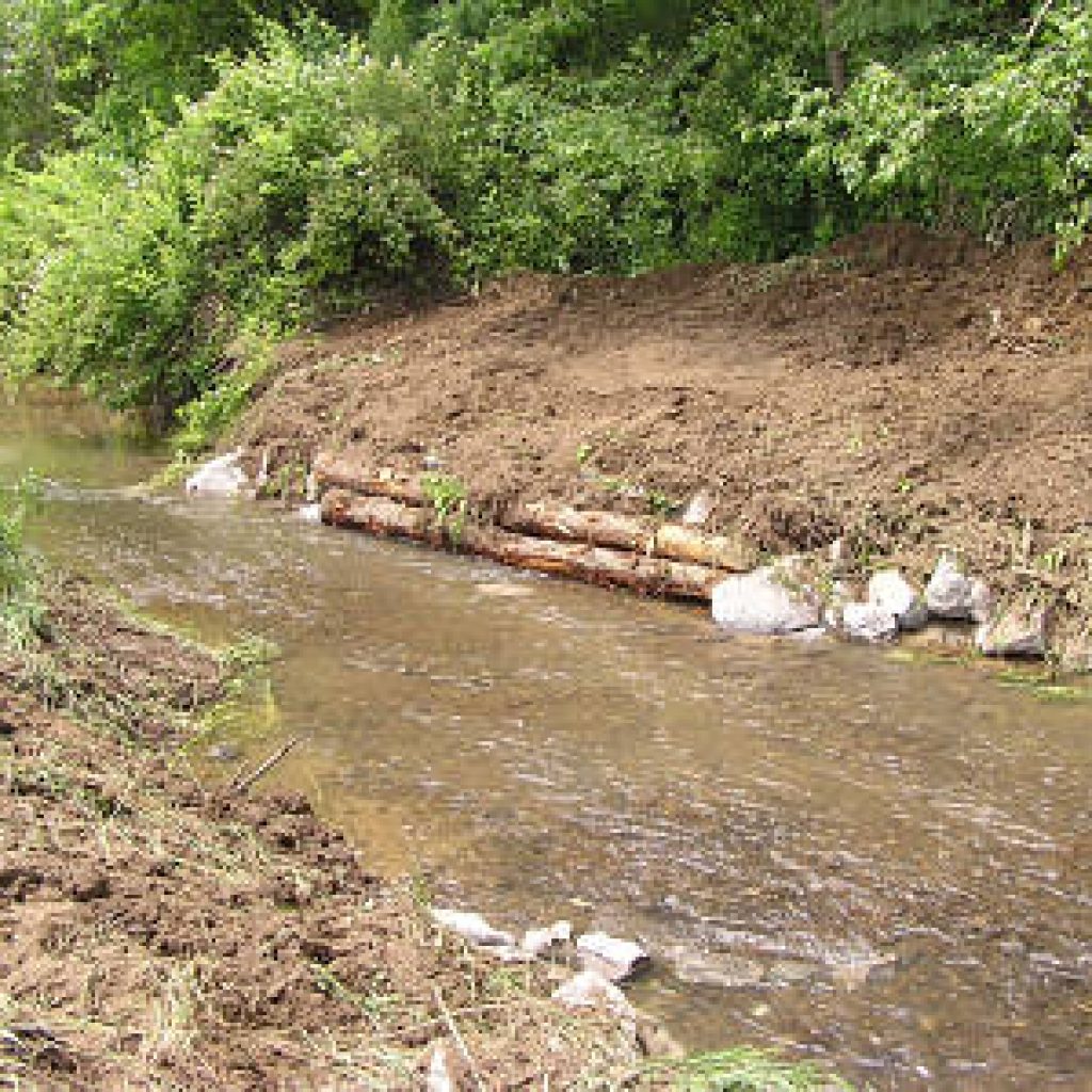
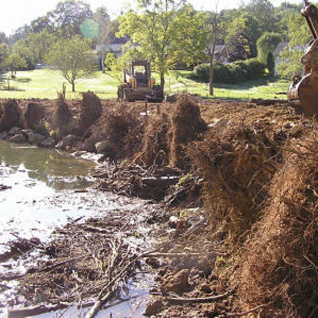
Habitat improvement and bank stability involving log vanes, large stone, cross vane and mudsill crib.
4-Mallard Lane & Beaufort Property- 2008
Habitat improvement and bank stability with 9 log vanes and a large mud sill crib.
5-Behind Supervisors Building – 2008
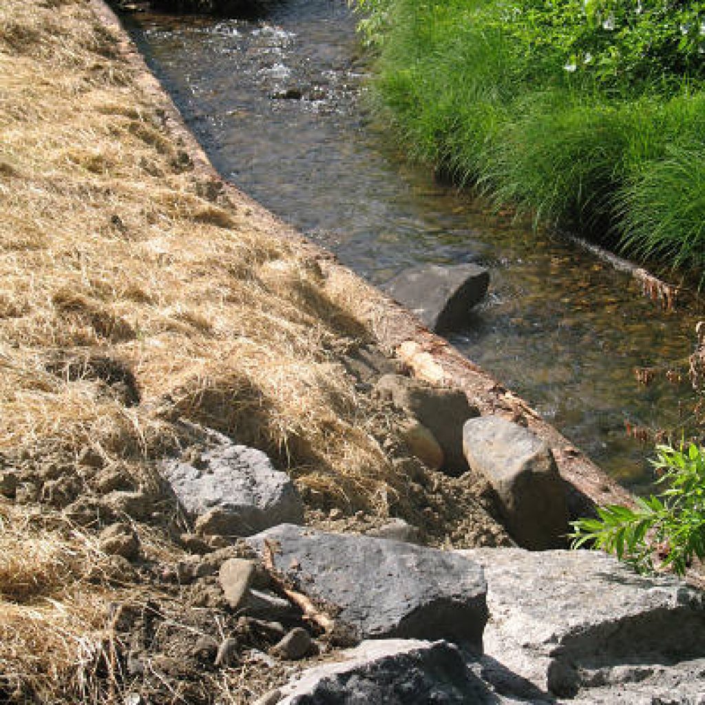
Bank stability with 3 large stone vanes.
6-Hanna’s Run – 2009
Bank stability erosion control and habitat improvement with 11 log vanes, 5 root wads and 2 mud sill cribs.
7-Brigade Lane – 2007
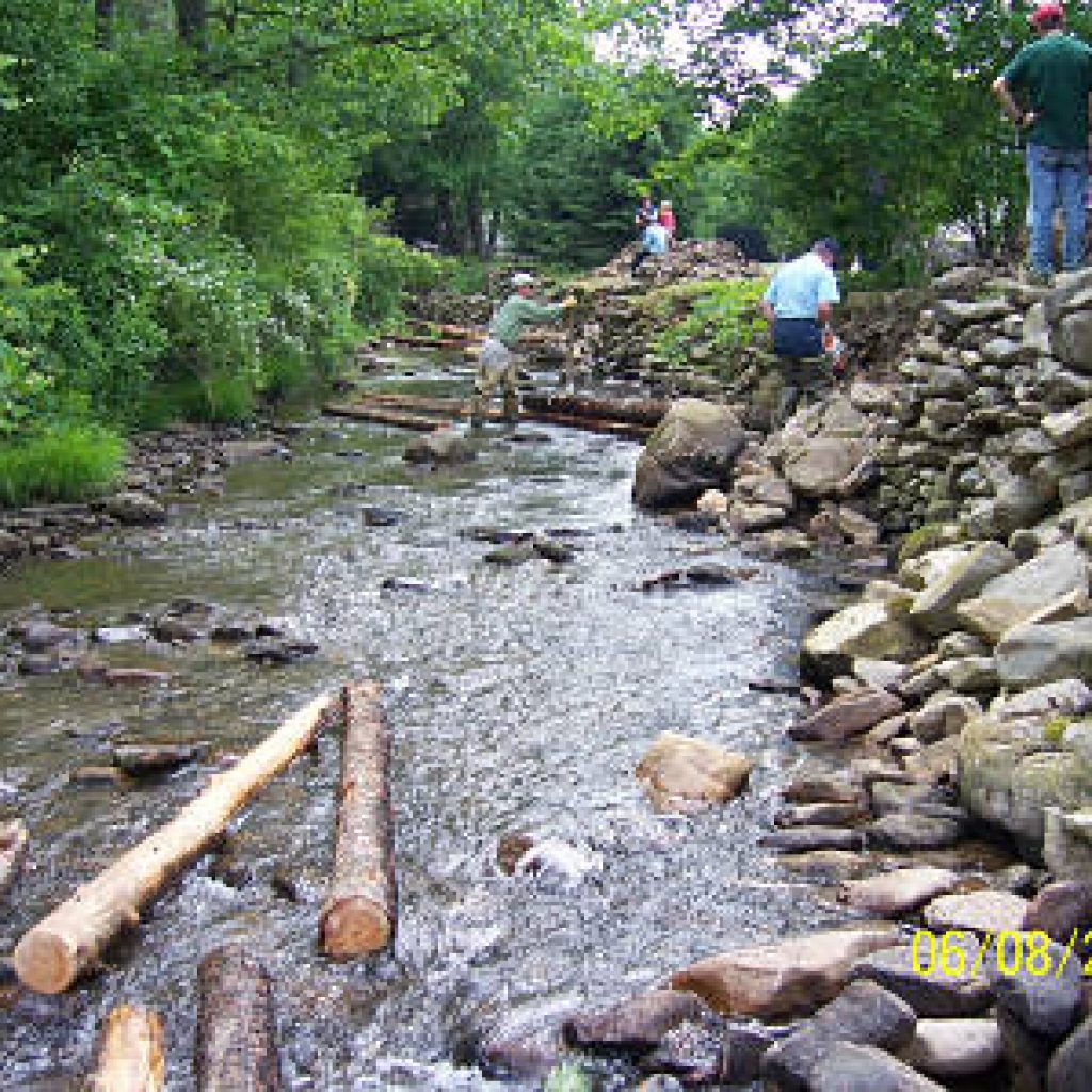
Bank stability and sediment control involving 8 log vanes, 1 stone vane, a root wad and tree planting.
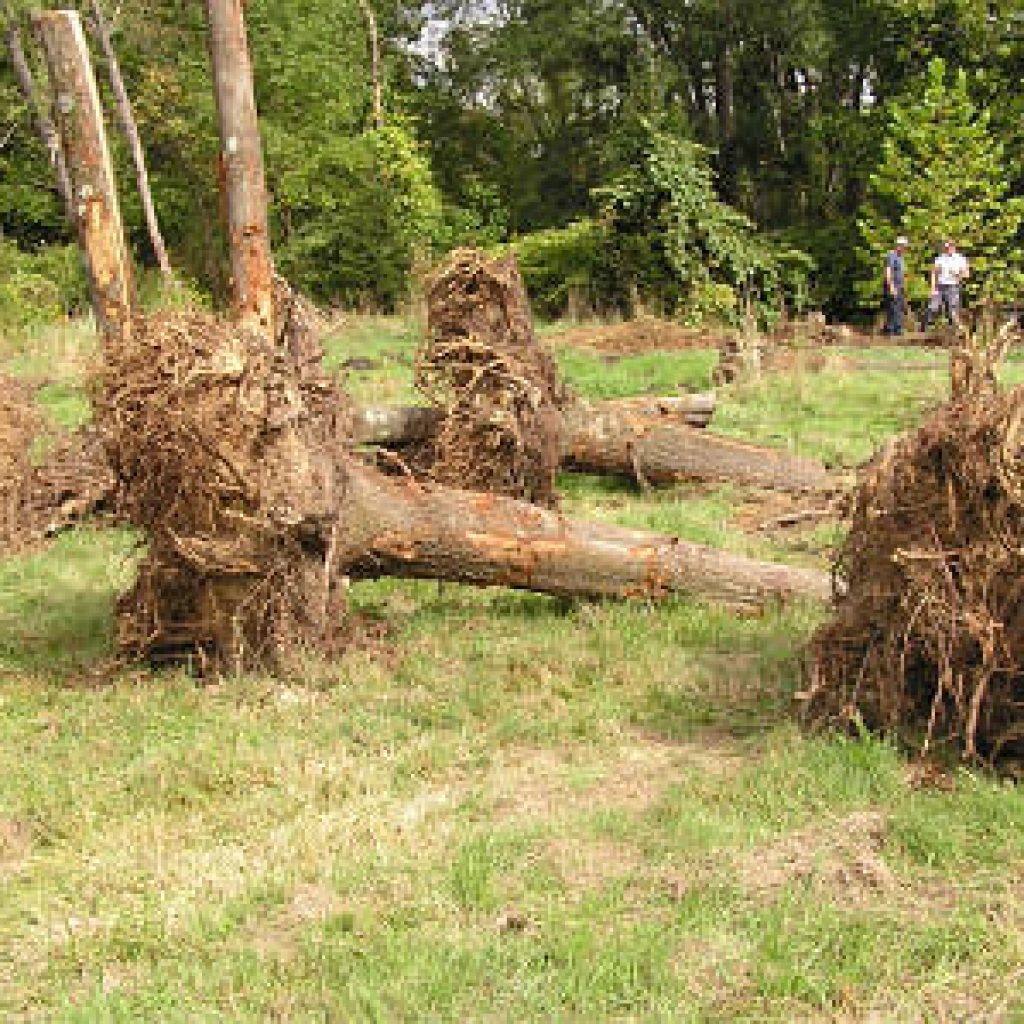
8-Denison Property – 2008
Bank and habitat improvement using 25 root wads, 13 log vanes and 200 tons of stone.

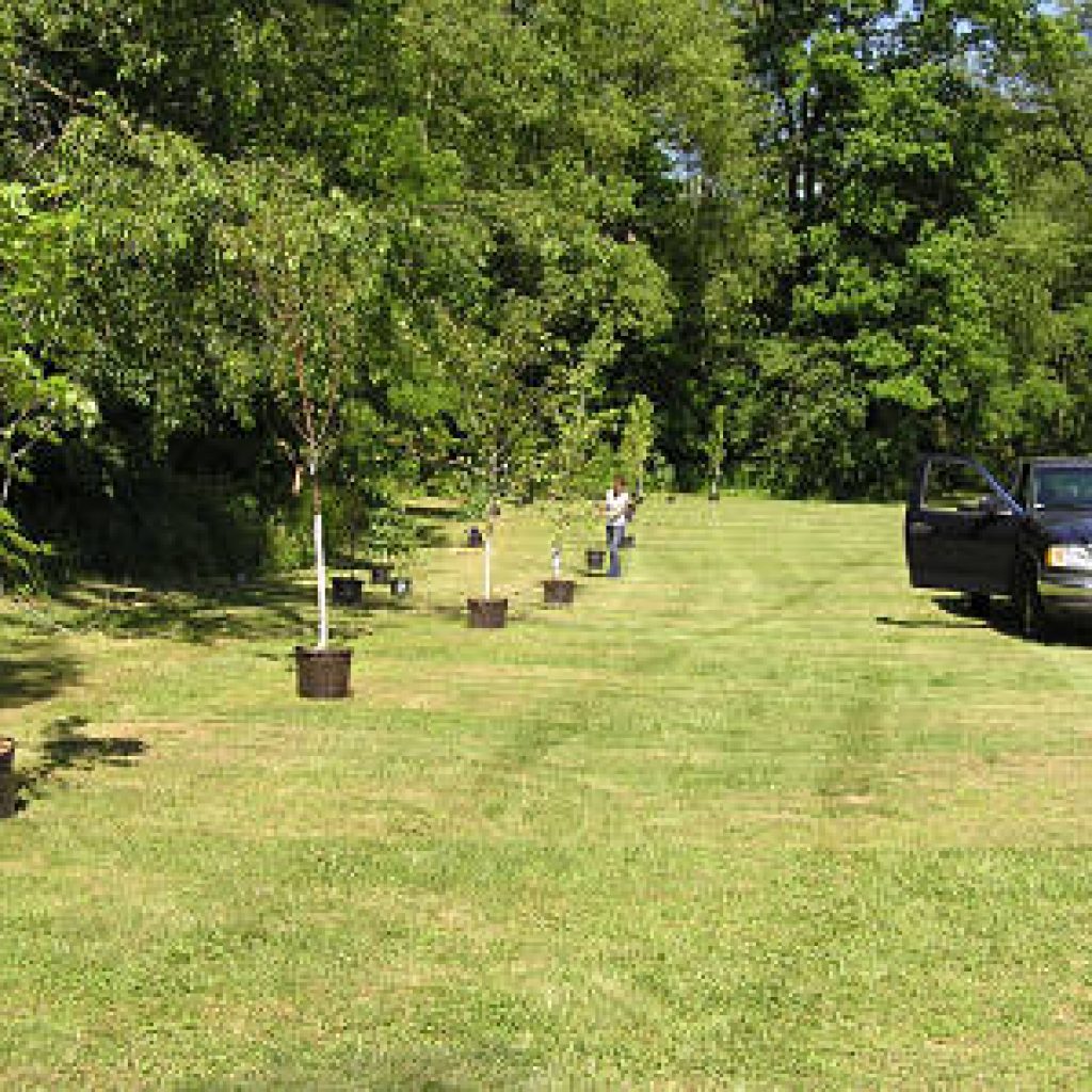
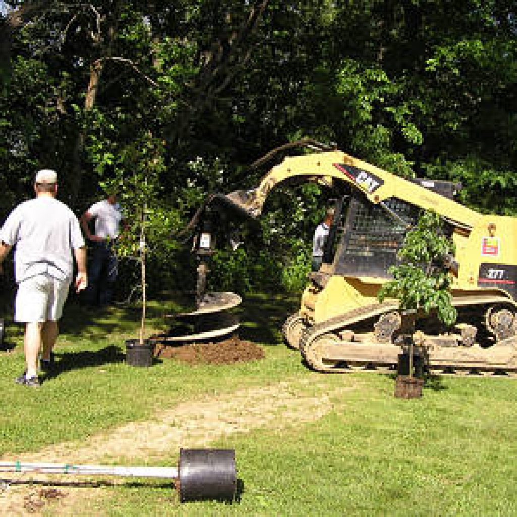
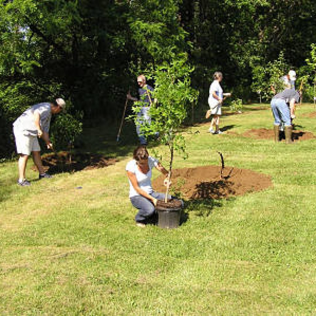
9-Ligonier Borough- 2008
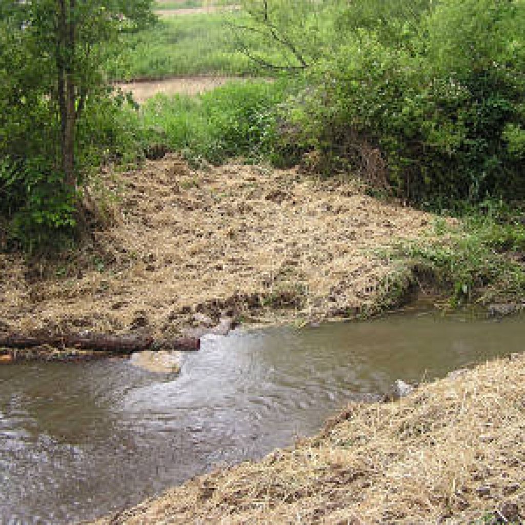
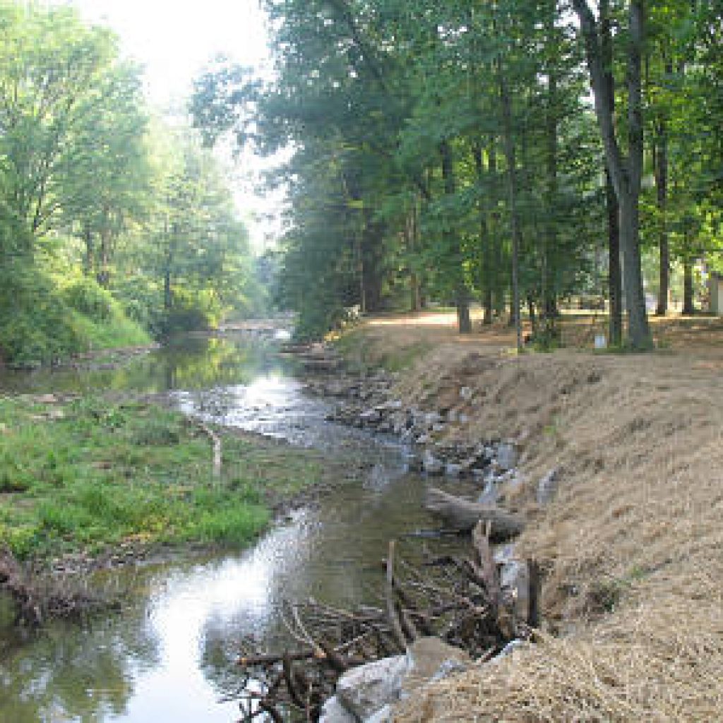
Riparian tree planting. 32 maple, oak, crab apple and dogwood trees.
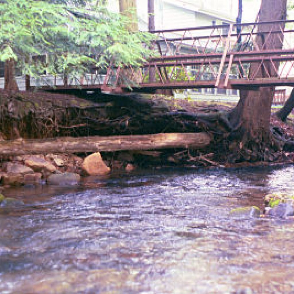
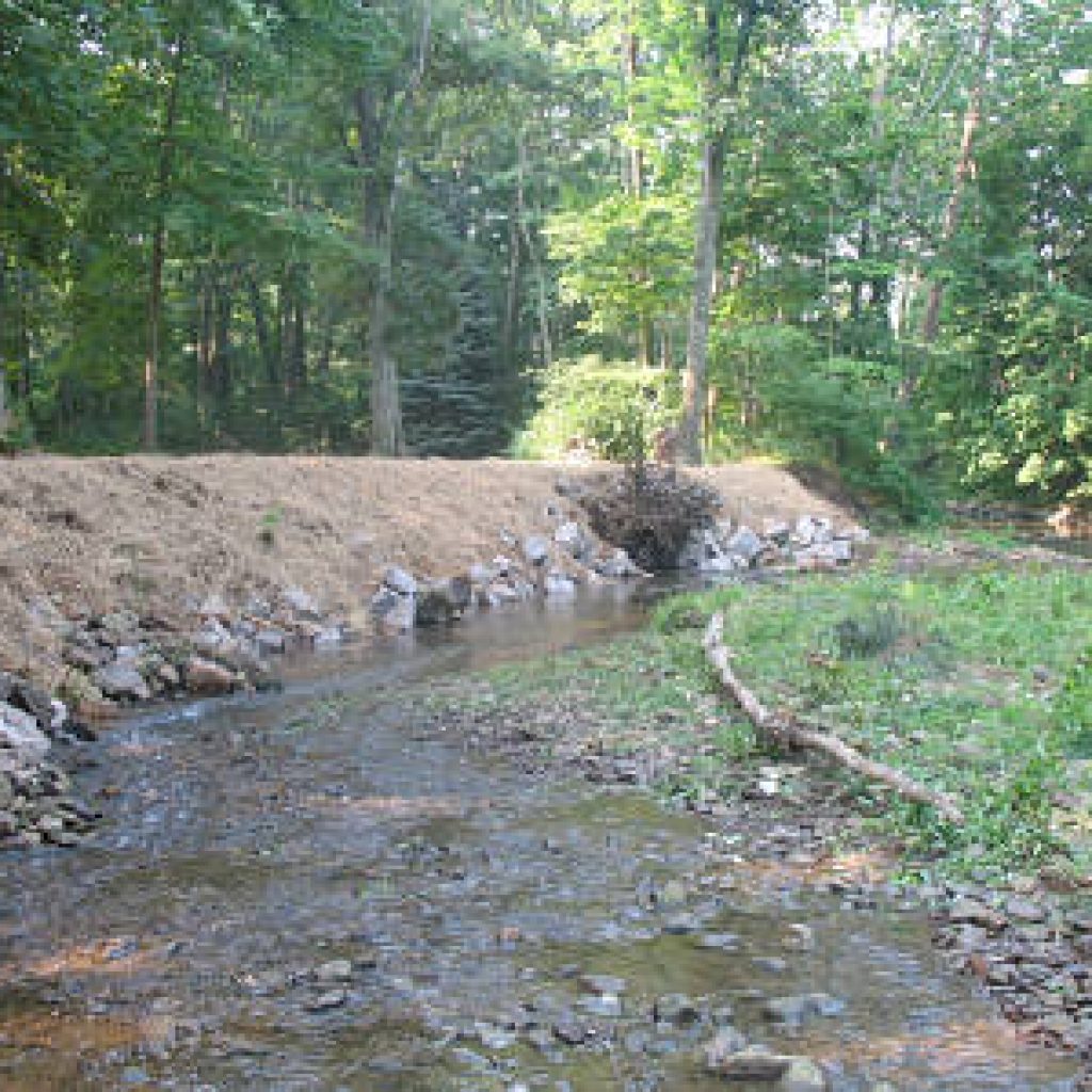
10-Ligonier Borough near Athletic Fields – 2012
Habitat improvement and bank stabilization with a large mud sill crib, several multi-log vanes and bank cribbing.